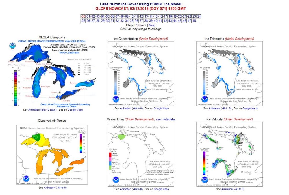
I was provided information by Gerry Shipman of Sound Boat Works and a squadron member concerning ice coverage maps for the Great Lakes a month ago, and promptly forgot about it.
With a little bit of digging I’ve managed to find the site the map was sourced from at the NOAA (US – National Oceanic and Atmospheric Agency). This site has lots of other information that will be of interest to squadron members including winds, waves, surface currents and much more.
There is also specific information on Lake Huron including Georgian Bay. I’ve pasted a screen clipping from one of the composite Lake Huron pages. If you go to the page you will be able to click on the individual maps for a larger image and more detail. It’s worth a look. I’ve placed a link directly from the image below to the corresponding web page in case you want to take a closer look.